Race bulletin
The D492 will be closed between the Étalans roundabout and the entrance to the village of Verrières-du-Grosbois due to road reinforcement works.
Your arrival must be exclusively via the village of Gonsans, where the start of the signposting will be set up.
Please take care and plan your arrival to the event site in advance.
It will not be possible to leave the car park before 11:00.
Please follow the instructions of the parking volunteers.
Provisional results: Click here to view the provisional results
Race format / Race information
- Map available on Livelox after the race:

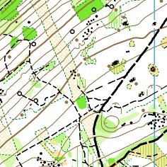
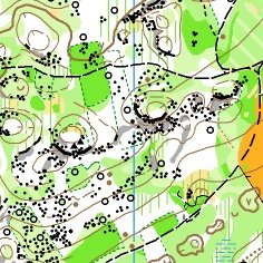
SCALES:
1:15000
1:10000
1:7500
CARTOGRAPHER:
MICHEL DUBOC
COURSE PLANNER:
KYLIAN WYMER
CONTROLLER:
PHILIPPE POGU
REFEREE:
ADELINE MORVAND
FEDERAL DELEGATE:
DENIS GENEVES
RECEPTION:
AT THE ARENA FROM 8:00
FIRST START:
9:30
COURSES CLOSE:
3 HOURS AFTER THE LAST START
Parking – Reception: 0 m
Reception – Start: 1600 m
Finish – Reception: 0 m
Distance from the event centre: 25 km
Special instructions / Additional information
Terrain
Alternating deciduous and coniferous forest; karst terrain with many sinkholes (dolines), rocks, stones and some lapiaz areas. In places the low vegetation has grown more than expected; in other areas there is still a lot of deadwood/branches on the ground. Long trousers are recommended.
The forest is under continuous logging operations; please be vigilant with extraction tracks which may be hard to see and covered by tall grass or brambles.
Technical information
- A water point will be provided between 50% and 70% of the course for all courses longer than 50 minutes. Courses A, B and C will also have a drink station at a control on their course.
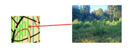
- Some regeneration areas are lower than the usual canopy (max. 3 m). The V3 (410.000) is therefore replaced by symbol 404.001 “open land with scattered bushes” and symbol 409.000 dense hatched green. This seemed more meaningful for runners.
- No stumps are drawn on the map.
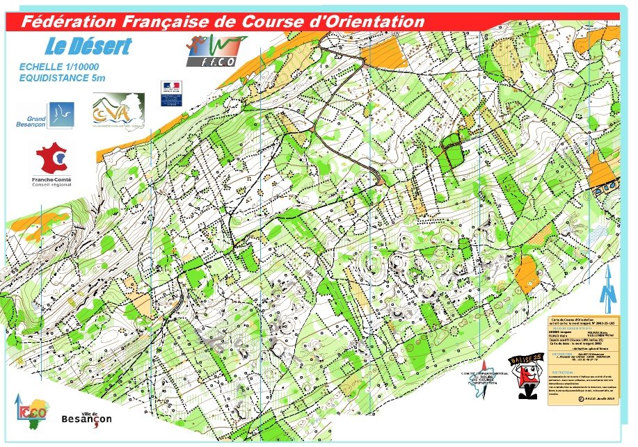
Old map
Embargoed areas
Information regarding embargoed areas and zones forbidden for reconnaissance is available on the French Orienteering Federation website. Participants must comply with these restrictions.